Ferry County Rail Trail
Republic to Danville, Washington
25 Miles of Unparalleled Beauty


FC Rail Trail Location and Sections
Ferry County Rail Trail, a non-motorized trail, is located in north central Washington, extending near the town and county seat of Republic to Danville, next to the Canadian border for a distance of over 24 miles. The main access 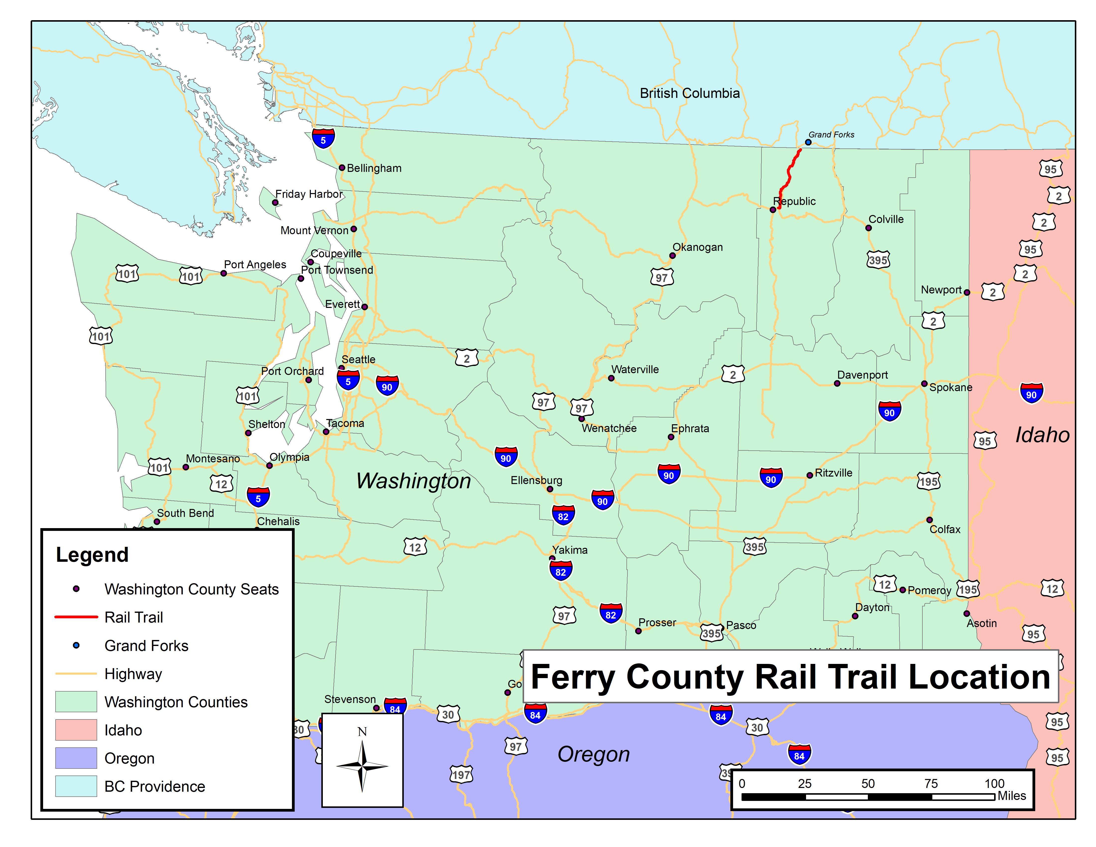 highways are by Highway 97 through the Okanogan Valley or by Highway 395 from Colville – Spokane. Republic is located on State Highway 20 that connects Highway 97 to Highway 395.
(See the Map Menu above for maps of the different trail sections)
The south start of the non-motorized Rail Trail is on Herron Creek Road. From there it winds along Curlew Lake, crosses the lake at the north end on the trestle, to the intersection of Kiwanis Road, a distance of about 5.5 miles.
The center section of the trail travels over unfinished rail bed to Lundimo Meadows Road, just south of the town of Curlew. This area represents Phase 5 of the surfacing project and is expected to be completed in 2021. This part of the trail travels parallel to Highway 21 for an approximate distance of over 9 miles .
The north section from the town of Curlew to the town of Danville at the British Columbia border, travels along the Kettle River and through a short tunnel. The trail is still running parallel to Highway 21, except on the east side of the river. This distance is approximately 10 miles.
The trail’s remote features are home to wildlife. It is not uncommon to see bald eagles, osprey, ducks and geese, mule and whitetail deer and maybe a brown bear.
Enjoy the scenery and your adventure. The views are always changing!